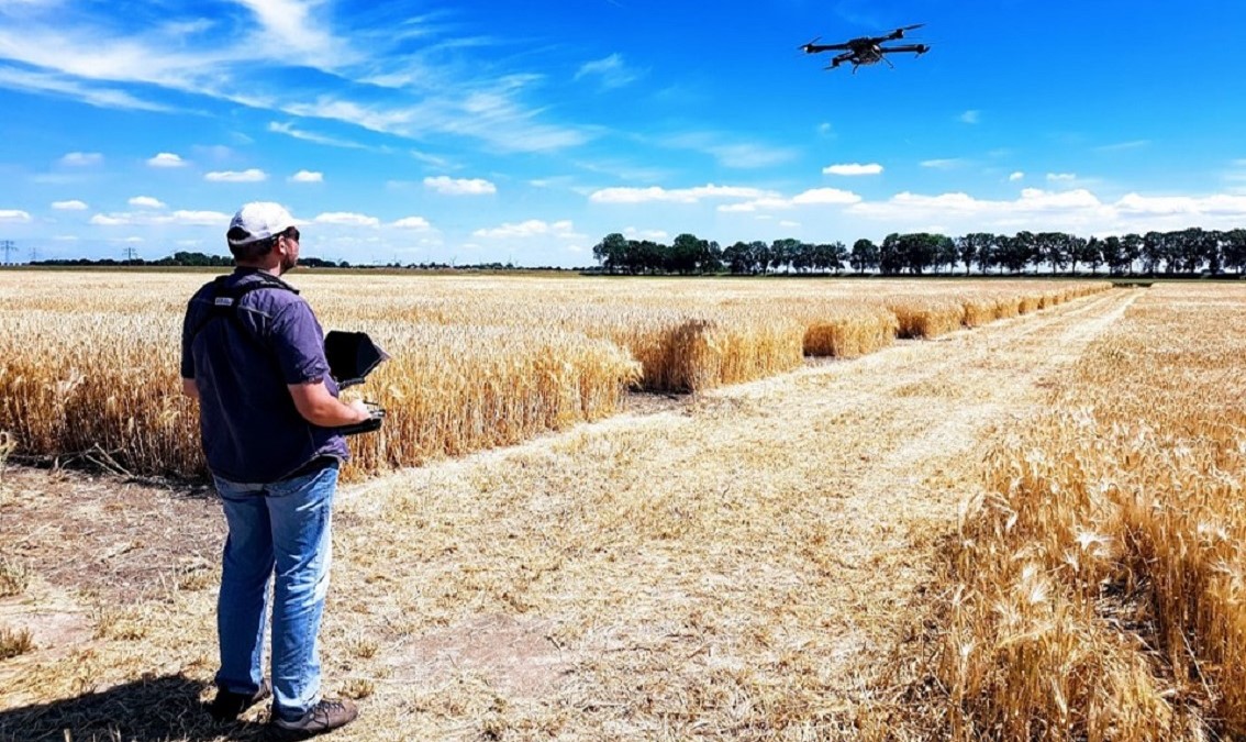
Are you wondering how drones can contribute to improving crop management? Discover what sensing approaches are available on the market. Join us and learn how to turn the data you collect into valuable information.
Course Details
| Language | English |
| Duration | 6 weeks |
| Effort | 2-4 hrs/wk |
Description
Transforming drone data into crop management decisions
Would you like to have the power to gather precise, timely information about crops? Curious about how that is possible? Then join this online course to unlock the potential of drone technology!
Uncrewed Aerial Vehicles (UAVs) or drones have become useful tools for optimizing crop management. They collect valuable spatial information that can help optimize yields while conserving precious resources.
Sensing beyond true colour imagery unlocks new possibilities for precision agriculture
Modern UAV platforms can host a range of sensors that collect different types of information. Each of these offers unique insights on crop health.
In this course you will learn about available advanced sensing approaches. You will discover what multispectral, hyperspectral, thermal and LiDAR sensing brings to precision agriculture.
For whom
Are you an avid agricultural enthusiast or a professional looking to enhance your expertise? Then this course provides you a gateway to tap into the opportunities of UAV-based sensing. Enroll today and position yourself at the forefront of the future of farming!
What You Will Learn
After this course you will be able to:
- Explain which UAV sensing systems are available and how they operate.
- Interpret data acquired with different sensors.
- Understand how different sensors can be used in your application.
- Implement a processing workflow for different types of UAV data.
- Design an appropriate processing approach based on available datasets and the application at hand.
- Evaluate results of UAV data analysis and propose improvements.
Grow these skills
Prerequisites
A basic understanding of physics and statistics with an interest in agriculture. MOOC "Drones for Agriculture: Prepare and Design Your Drone (UAV) Mission" or equivalent skills. Familiarity with scripting languages will help you to get the most out of this online course.
Plan
Module 1: Advanced remote sensing with UAVs
In the opening module, you will enter the world of UAV remote sensing. We will introduce you to different sensing techniques, including multispectral, hyperspectral, thermal and LiDAR sensing. You will learn how these sensors operate and how they can be used for agricultural monitoring.
Module 2: UAV data processing in practice
In this part of the course, we will focus on the intricacies of UAV data processing through hands-on exercises. You will learn how to design and implement processing workflows for different datasets and specific agricultural scenarios. This experience will also enable you to effectively evaluate analysis outputs.
Course instructors

Lammert Kooistra
Prof.dr.ir. L (Lammert) Kooistra is an Associate Professor in Geo-Information Science and Remote Sensing at Wageningen University & Research
Joao Valente
Dr João Valente is a tenured Scientist in UAVs, Robotics & AI at the Spanish National Research Council (CSIC) at Wageningen University & Research

Magdalena Smigaj
Dr Magdalena Smigaj is a postdoctoral Researcher at Wageningen University & Research, specializing in remote sensing and geospatial data analysis for environmental and agricultural applications.
Harm Bartholomeus
Dr Harm Bartholomeus is an associate professor in Remote Sensing at Wageningen University & Research, with expertise in imaging spectroscopy, LiDAR and UAV-based sensing techniques for environmental, forestry and soil science applications.
Sergio Vélez
Dr Sergio Vélez is a postdoctoral Researcher at Wageningen University & Research working within the Flexigrobots project, focusing on robotics, sensing technologies and data-driven solutions for agricultural applications.
